OpenCPN has released version 5.12.4, enhancing its capabilities as a chart plotter and navigation application for boaters. This software is designed for both experienced sailors and beginners, providing a reliable tool for navigating vessels seamlessly, whether on the water or planning an adventure.
With OpenCPN, users can easily chart their courses and track their locations using their laptops, allowing for effective control from the helm station. The app supports various chart formats, including S57 and encrypted S63 vector charts, BSB v3 raster charts, and CM93 vector charts, ensuring worldwide navigation capabilities.
Key features of OpenCPN 5.12.4 include:
- AIS (Automatic Identification System) support for target tracking, collision alerts, and automatic Man Overboard (MOB) handling.
- Comprehensive route planning tools, including tidal support and built-in great-circle routing, as well as integrated weather routing options.
- GPS tracking functionalities that include waypoint navigation and autopilot output support.
- Alarm systems for anchor watch and MOB situations, enhancing safety on the water.
- Weather forecasting capabilities through GRIB and GRIB2 file inputs.
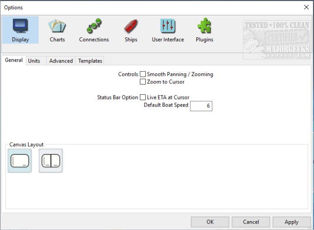
Additionally, OpenCPN offers support for over 30 plugins, allowing users to customize their experience further and enhance the app's functionality. This robust feature set makes OpenCPN an invaluable resource for anyone looking to ensure a safe and enjoyable boating experience.
As the boating community evolves, applications like OpenCPN are becoming increasingly sophisticated, integrating new technologies to improve navigation and safety. Future updates may include more advanced weather analysis tools, integration with additional navigation systems, and enhanced user interface designs to make the app even more user-friendly
With OpenCPN, users can easily chart their courses and track their locations using their laptops, allowing for effective control from the helm station. The app supports various chart formats, including S57 and encrypted S63 vector charts, BSB v3 raster charts, and CM93 vector charts, ensuring worldwide navigation capabilities.
Key features of OpenCPN 5.12.4 include:
- AIS (Automatic Identification System) support for target tracking, collision alerts, and automatic Man Overboard (MOB) handling.
- Comprehensive route planning tools, including tidal support and built-in great-circle routing, as well as integrated weather routing options.
- GPS tracking functionalities that include waypoint navigation and autopilot output support.
- Alarm systems for anchor watch and MOB situations, enhancing safety on the water.
- Weather forecasting capabilities through GRIB and GRIB2 file inputs.
Additionally, OpenCPN offers support for over 30 plugins, allowing users to customize their experience further and enhance the app's functionality. This robust feature set makes OpenCPN an invaluable resource for anyone looking to ensure a safe and enjoyable boating experience.
As the boating community evolves, applications like OpenCPN are becoming increasingly sophisticated, integrating new technologies to improve navigation and safety. Future updates may include more advanced weather analysis tools, integration with additional navigation systems, and enhanced user interface designs to make the app even more user-friendly
OpenCPN 5.12.4 released
OpenCPN provides you with a chart plotter and navigation app. Whether you're underway or making plans for an epic trip, this app will come in handy.