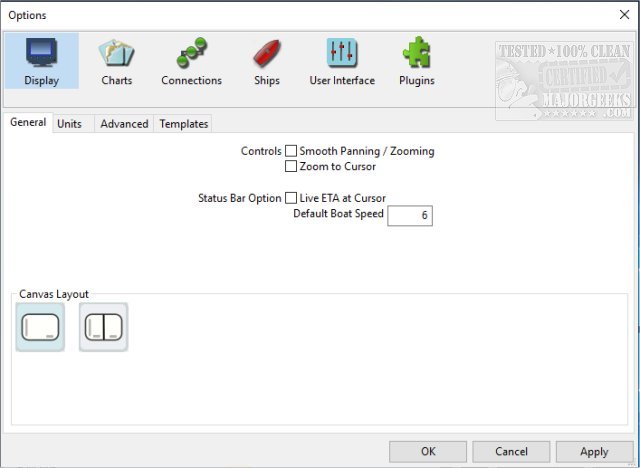
OpenCPN has released version 5.12.0, enhancing its reputation as a comprehensive chart plotter and navigation application. This software is essential for boaters, whether they are actively navigating the seas or planning their next maritime adventure. OpenCPN simplifies the navigation process, allowing users to chart courses and track their locations conveniently from their laptops. It delivers peace of mind by empowering users to manage their vessels' safety effectively, regardless of their sailing experience.
The application supports a wide variety of chart formats, including the global standard S57, encrypted S63 vector charts, BSB v3 raster charts, and CM93 vector charts with precise cell offset corrections. Users have access to the latest Electronic Navigational Charts (ENCs) for various regions, distributed via o-charts.org.
OpenCPN also features robust AIS (Automatic Identification System) capabilities, enabling full target tracking and collision alerts, as well as support for Search and Rescue Transmitters (SART) and Digital Selective Calling (DSC). Its route planning functionality is enhanced with tidal support, built-in great-circle routing, and integrated weather routing options through qtVim or additional plugins.
GPS tracking is another key feature, offering ship tracking, waypoint navigation, and support for autopilot output. Safety is prioritized with anchor watch and man overboard (MOB) alarms, ensuring a secure sailing experience. Furthermore, users can input and visualize GRIB and GRIB2 files for accurate weather forecasting.
OpenCPN's extensibility is notable, with support for over 30 plugins, allowing users to customize their navigation experience to suit their specific needs. Overall, OpenCPN 5.12.0 continues to be an invaluable tool for both seasoned sailors and novice boaters, enhancing their journey on the water.
Looking ahead, future updates may further expand its features, improve user experience, and integrate more advanced technologies such as real-time weather data and enhanced charting capabilities. As the maritime landscape evolves, OpenCPN is well-positioned to adapt and meet the needs of its users
OpenCPN 5.12.0 released
OpenCPN provides you with a chart plotter and navigation app. Whether you're underway or making plans for an epic trip, this app will come in handy.


